1. Pavement Condition Assessment
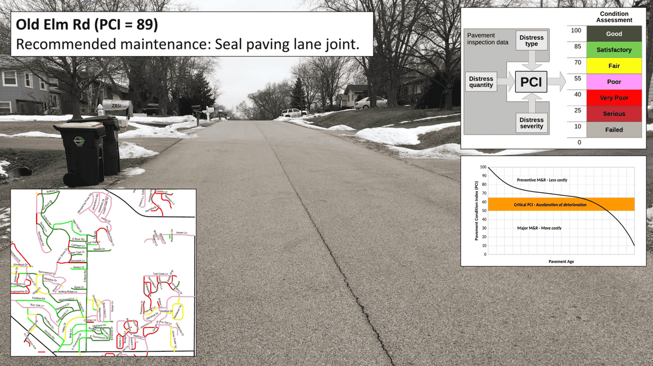
We use AI-powered tools and Lidar to analyze pavement surfaces for cracks, wear, and overall condition.
2. Pavement Marking & Striping
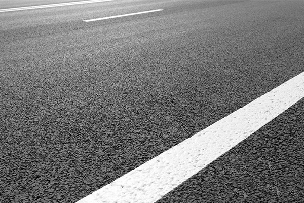
Capture and assess the visibility, compliance, and wear of roadway striping and pavement markings.
3. Sidewalk
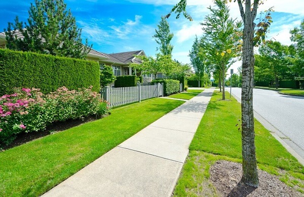
Our technology evaluates sidewalk conditions and compliance with accessibility standards.
4. MUTCD Signs
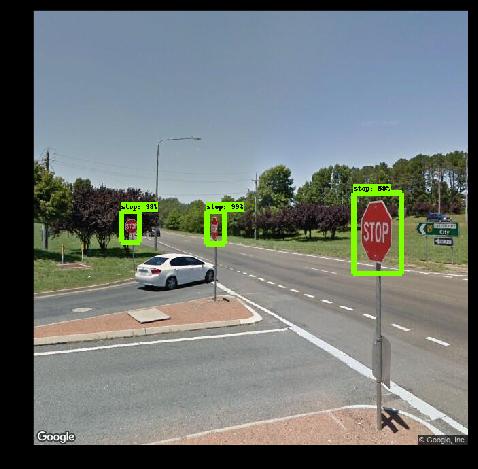
Inventory and validate the placement, condition, and visibility of signs per MUTCD standards.
5. ADA Ramps
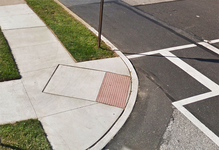
Analyze ramps for slope, width, warnings, and compliance with ADA standards.
6. Street Lights

Track locations and status of street lights to support maintenance and energy management.
7. Retaining Walls
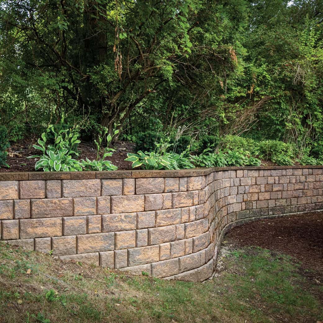
Document structural elements and visible conditions to support asset monitoring.
8. Utility Poles
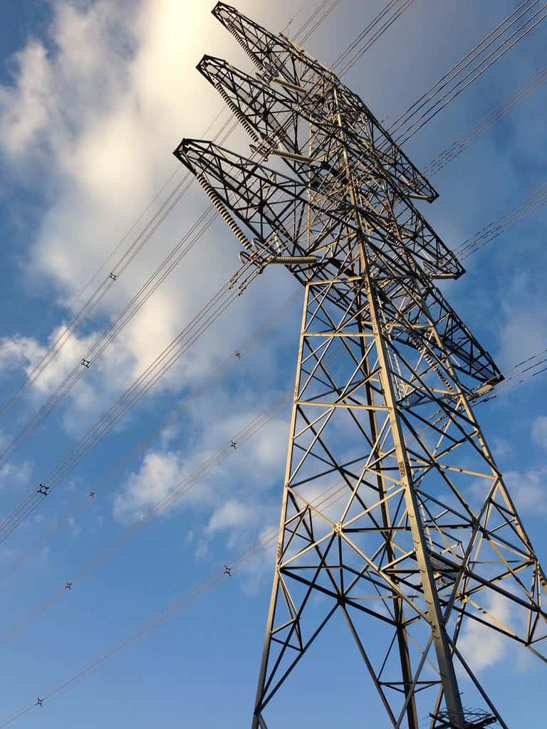
Utility poles are mapped and assessed for obstructions, attachments, and alignment.
9. Street Furniture
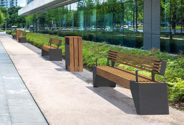
Includes benches, bins, and bike racks. We assess condition for urban planning.
10. Catch Basins
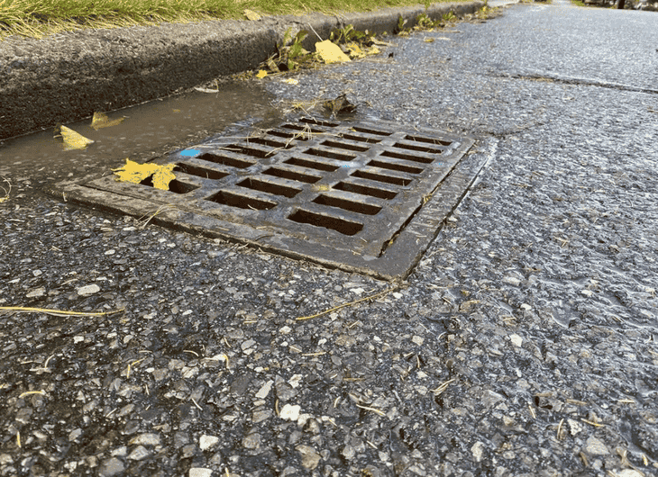
Monitor catch basins to ensure effective stormwater drainage and infrastructure longevity.
11. Bus Stops
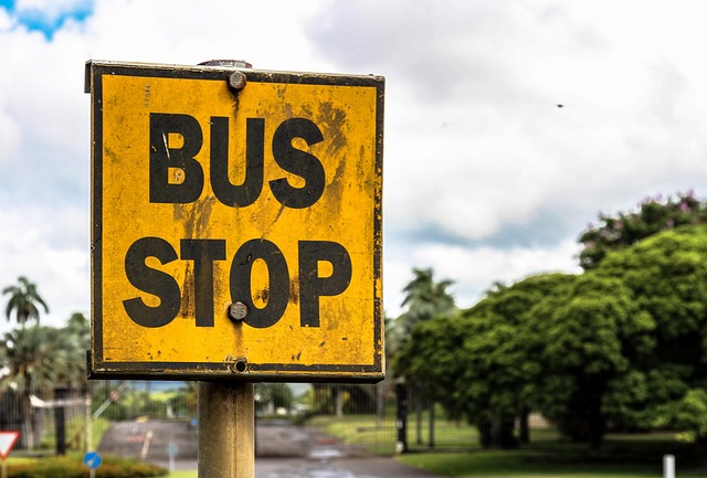
Assess bus stop shelters, signs, and accessibility to support transit planning.
12. Trees

Catalog tree species, health, and risk factors for proactive arborist management.
13. Guardrails
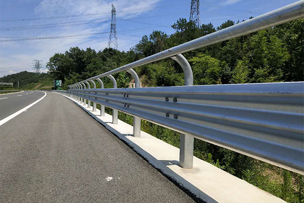
Evaluate integrity and placement of guardrails to ensure roadway safety.